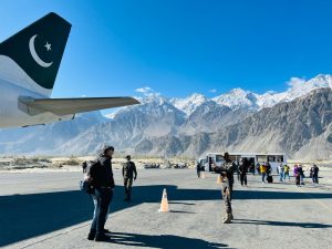
Exploration of the Nanga Parbat Base Camp Trek & Hunza Valley.
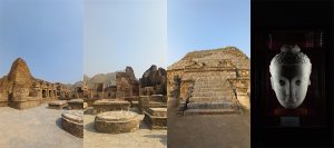
Trip highlights: Islamabad – Chilas -Fiary medow-Nanga Parbat Basecamp-Hunza -Attabad lake-Passu -Gilgit-Taxila-Islamabad
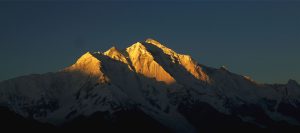
The path is on the northern side of the Himalayas in Pakistan’s Diamir District of Gilgit-Baltistan.Nanga Parbat and a few kilometer’s in Chilas, south of the Indus River and the Karakorum Highway. At 3,300 metres, Fairy Meadows is a verdant plateau that provides a glimpse of 8,126 metres Nanga Parbat, popularly referred to as the “KILLER MOUNTAIN” due to the high number of climbers who have perished on the ascent. The Himalayan range’s western anchor, Nanga Parbat, marks the start of the Karakoram range.
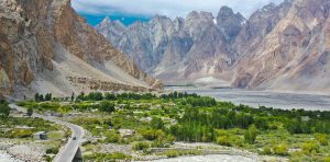
The Hunza Valley is surrounded by some of the world’s highest mountain ranges, and the landscape is dominated by towering peaks. Here are some notable peaks and their approximate altitudes that are visible from Hunza Valley: Rakaposhi with an elevation of about 7,788 meters. Ultar Sar is situated near Karimabad in the Hunza Valley and has multiple summits, with the highest one reaching around 7,388 meters. Ladyfinger Peak (Bublimotin) This distinctive rock spire stands at approximately 6,000 meters Passu Cones: These sharp, pointed peaks are part of the Passu Massif and are a prominent feature of the Hunza Valley. While not individual peaks, they contribute to the dramatic scenery. Passu Sar, one of the peaks in this massif, has an elevation of about 7,478 meters. Diran Peak: Located near the village of Minapin, Diran Peak is a challenging mountain to climb, with an elevation of around 7,266 meters.


